LAS VEGAS, NV — True North Rescue, Inc. and Solara Remote Data Delivery Inc. are partnering to create the world’s first satellite-connected radio direction finder (RDF) to save the lives of lost hikers, downed planes and missing watercraft by quickly and accurately pinpointing rescue beacons. By combining the Iridium Satellite technology in Solara’s Flare device with the Polaris RDF, TNR now offers a rapid, automated triangulation to Search and Rescue professionals using Android or iOS systems.
“The incorporation of Solara’s satellite and blue tooth technology provides complete integration of the Polaris 121.5 and 406 MHz units with the end user’s phone while also allowing for the wireless transfer of data to the command center in real time,” said Murray Craig, CTO of TrueNorth. “We now have the first automated solution that can give ground and air-based search and rescue personnel accurate directions and distances to emergency beacons faster than any other product on the market today”.
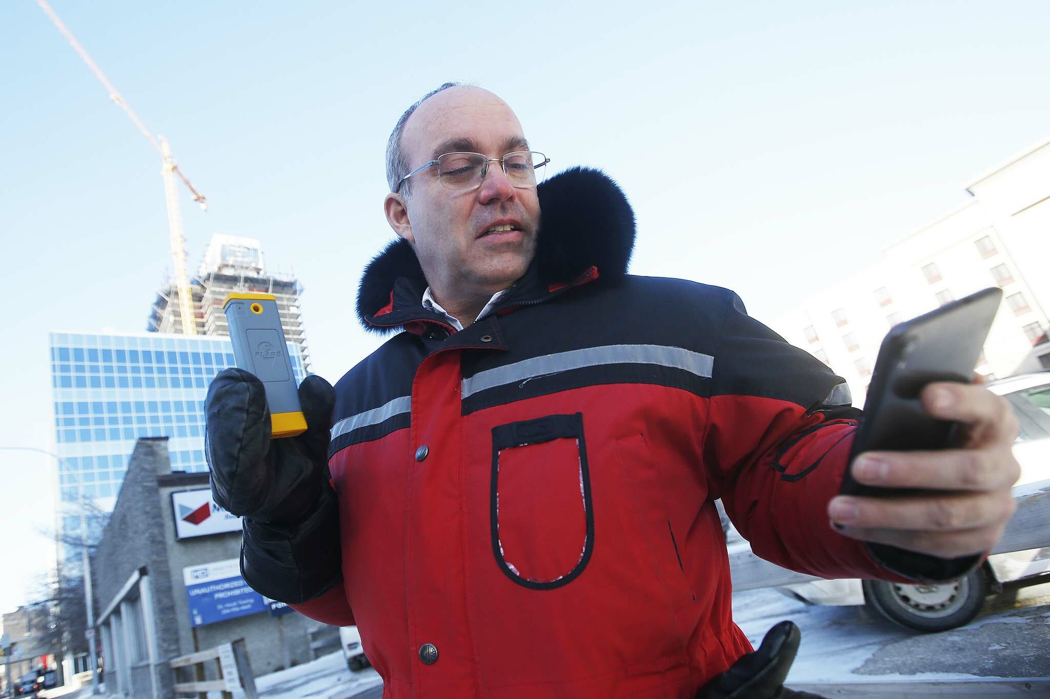
TNR’s Polaris technology utilizes a patented high-tech antenna, designed for ease of use in the field. The Polaris RDF’s programmable computer receiver offers complete flexibility on homing in on the exact frequency being transmitted. A series of artificial intelligence algorithms provide unparalleled directionality of the antenna.
“This was an outstanding opportunity to interact with a successful company with a superior product that shares the core values of Solara, building robust products you can count on in the toughest conditions,” said Tom Tessier, CEO of Solara. “The Polaris RDF system saves precious moments that save lives when people are in distress”.
TNR also employed the Solara Flare’s wireless links to connect seamlessly with Polaris RDF user’s cell phone app. The messaging capability of the Flare is also incorporated into the Polaris RDF app, allowing crews to exchange messages by SMS texts. Essentially, it enables search and rescue personnel to communicate messages and locations under the most severe circumstances.
Modern search and rescue teams typically use antiquated receivers and antenna systems which merely point at the source of the signal, requiring both compass and navigational skills to determine the location of the transmitting beacon. Plotting the direction from a searcher’s current location on a map and drawing a bearing to target is time-consuming. The Polaris RDF is now the first portable, satellite-based RDF designed for harsh and remote field conditions.